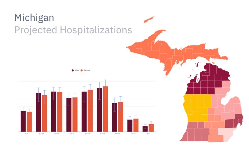
Helping health systems plan ahead
Epistemix forecasted hospital admissions, emergency department visits, and capacity alerts for facilities across a Michigan health system, to plan for a COVID-19 surge.
Decision makers want to see value in geospatial analytics before committing budget, but those analytics often depend on sensitive in-house data or expensive third-party data.
Epistemix enables you to demonstrate and deliver more value to customers by prototyping analytics solutions using our statistically accurate, geospatially located synthetic population of the United States.
Informed by decades of work with
Our synthetic population lets you run rigorous geospatial analyses with or without access to client or third-party population data.
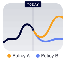
Forecast the impact of what-if scenarios with our simulation engine.
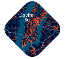
Import a rich, statistically accurate synthetic population of the United States.
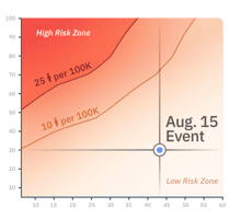
Communicate key results to decision makers and stakeholders.

Epistemix forecasted hospital admissions, emergency department visits, and capacity alerts for facilities across a Michigan health system, to plan for a COVID-19 surge.

Chicago regulators used the Epistemix synthetic population to simulate the epidemiological impacts of the entire event calendar at McCormick Place and across the city.
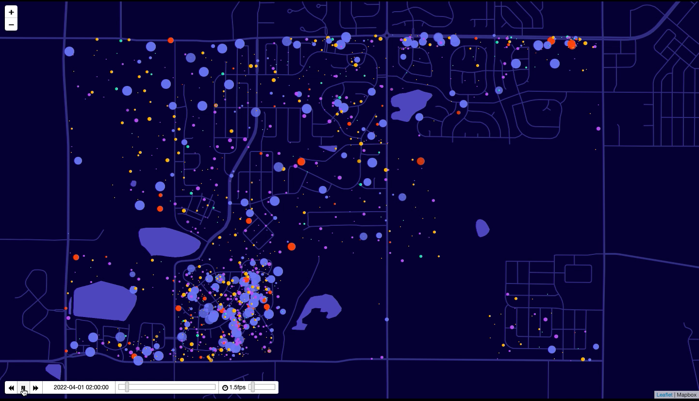
Epistemix worked with a coalition of ISPs to inform long-term infrastructure investments by comparing scenarios of population internet use in Boulder, CO.
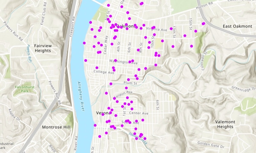
Riverview School District superintendents leveraged the Epistemix platform to evaluate the human impacts of competing reopening strategies.
Integrate our synthetic population into your geospatial analytics.